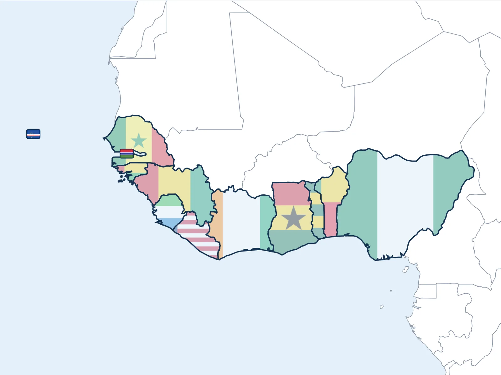
West Africa
The African Atlantic coast. Senegal, Côte d'Ivoire, Ghana, Nigeria. Touba, cocoa farms, the Abomey palaces.
Open it on screen, then choose what to print
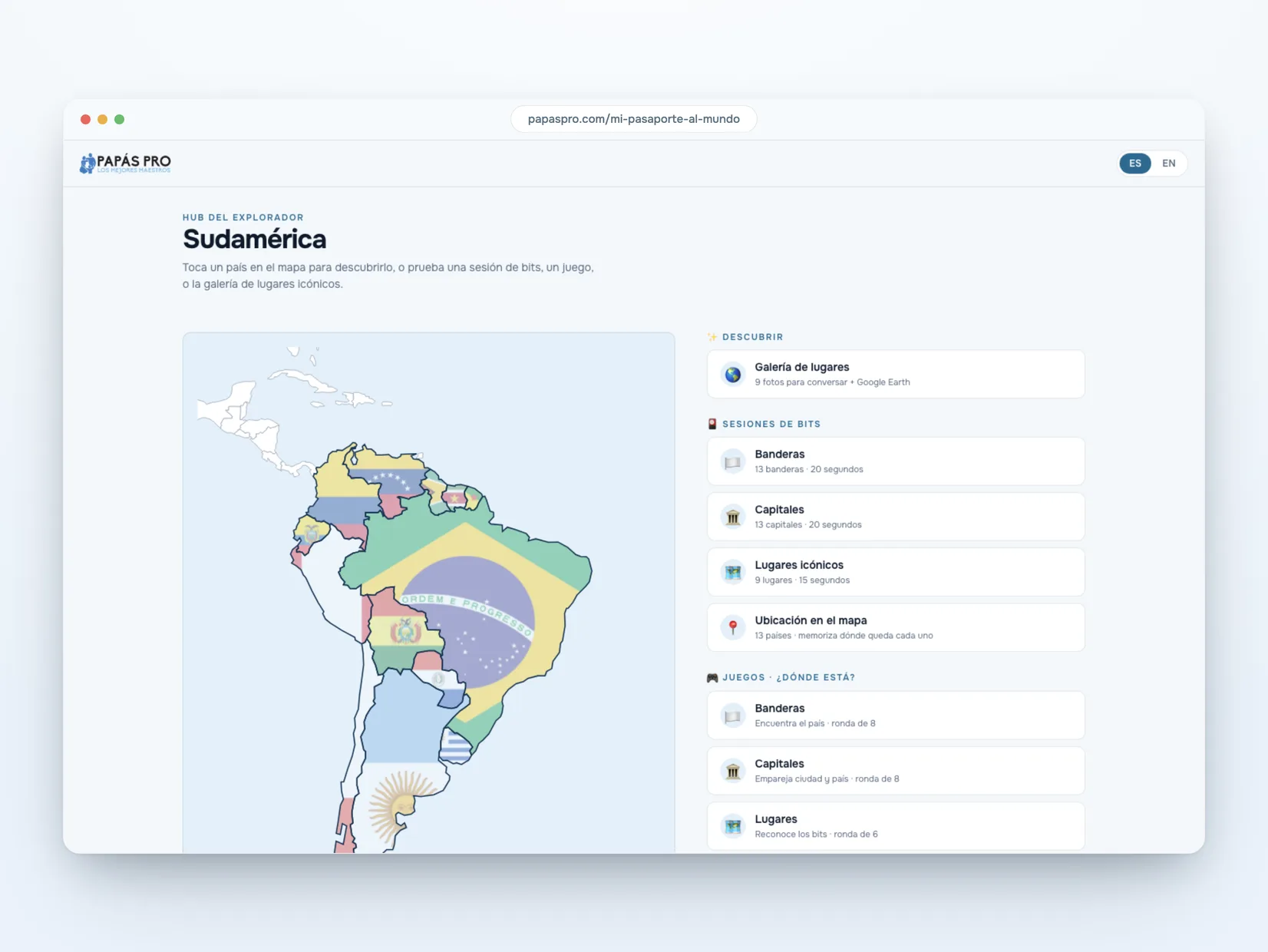
On the screen
A session takes seconds: flags, capitals, iconic places, and where each country sits on the map. Every name is said out loud, in Spanish or in English. You show it, and that's it.
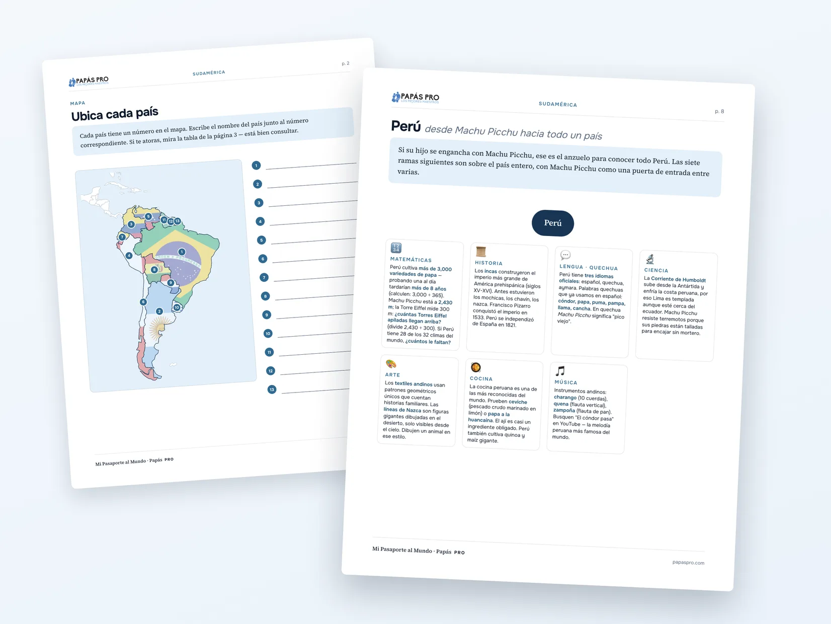
The workbook to print
Some pages are for placing countries, capitals, and flags. They're there for the child who enjoys that kind of work. If yours doesn't, skip them.
Other pages are made for conversation. Each lesson develops five examples that can begin with a country or a place. Every example opens into seven branches: math, history, language, science, art, cooking, and music. If Machu Picchu catches your child's attention, you can compare its height or discover what its name means in Quechua.
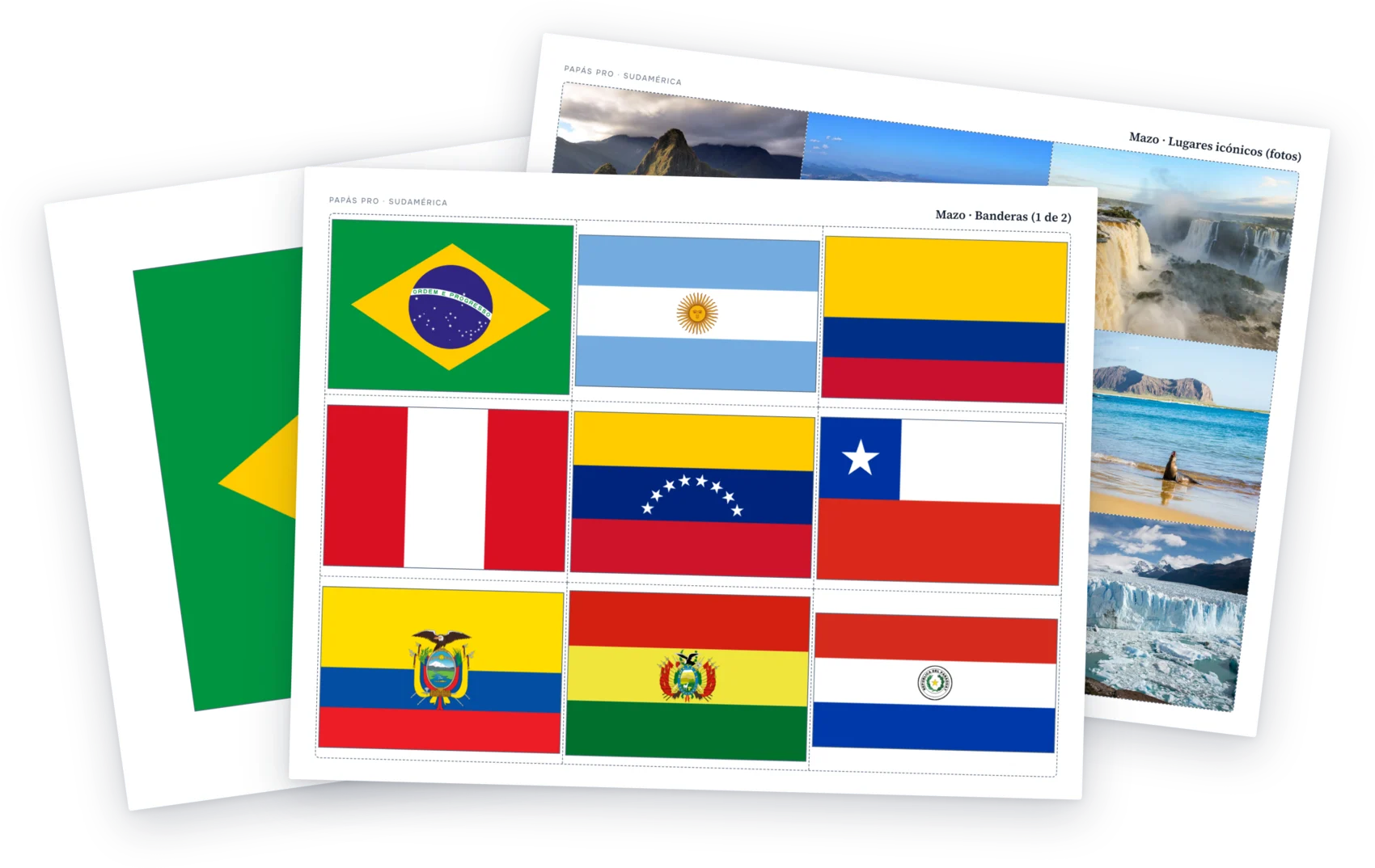
Full-page cards and six decks to play with
The playing-card-size cards are made to cut out and use in games. Each lesson includes six decks: flags, countries, capitals, landmark photographs, place names, and cultural items. You can play with all the cards face up or turn them over for a memory game. When someone finds a pair, they share one fact; if no one knows one, look it up together.
For the flag game, place a flag on the table and look for what belongs with it: its capital, a landmark, or a cultural item. There are no points or winners. You build each country and talk as you play. My kids love these.
There are also full-page cards to show one at a time. Each page holds one large image or word, in the style of bits of intelligence: one large image, shown for a second. Print whichever ones you want in Letter or A4.